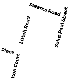
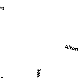
50 54 ALTON PL
Owner Information
ST PAUL GARDENS LLC
300 INDEPENDENCE DR
CHESTNUT HILL, MA 02467


Property Details
50 54 ALTON PL is classified as a Apartments with More than Eight Units (Apt-garden).
The primary structure on this property was built in 1953. There are 74,764ft2 of built area within this property. There is 68,405ft2 of residential/living space within this property. This property is listed as having 28 rooms. There are 80 units within this property.
50 54 ALTON PL is valued at $27,192,300. The land is valued at $17,524,400 and the structures are valued at $9,393,300. There is an additional valuation of $274,600 on this property.
This property is in Zone M10. Confirm with local Zoning Board authorities to ensure there are no overlays or other easements on this property.
The most recent deed for 50 54 ALTON PL is recorded at the local registrar in Book 16691, Page 132. 50 54 ALTON PL was last sold on Monday, June 3, 2002 for $1.
Assessment data from fiscal year 2021.
Flood Data
According to the FEMA National Flood Hazard Layer, this property does not appear to be in a flood zone. It may also be in an area not yet reviewed. Nonetheless, confirm this information prior to taking any action.
To view the flood hazards around this property, create a FEMA "Firmette" Map of the area around 50 54 ALTON PL.
Broadband Internet Providers
| Provider | Type | Bandwidth (mbps) | |
|---|---|---|---|
| RCN | Cable | 500 | 20 |
| Verizon New England Inc. | DSL | 15 | 1 |
| Viasat Inc | Satellite | 100 | 3 |
| Crown Castle Fiber | Fiber | 0 | 0 |
| VSAT Systems, LLC. | Satellite | 2 | 1 |
| GCI Communication Corp. | Satellite | 0 | 0 |
| HughesNet | Satellite | 25 | 3 |
| Starry, Inc. | Fixed Wireless | 200 | 200 |
| RCN | Cable | 1000 | 20 |
| netBlazr Inc | Fixed Wireless | 50 | 50 |
| Comcast | Cable | 1000 | 35 |
Broadband service provider data from December 2020.
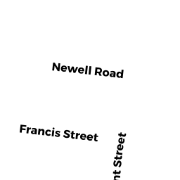
Adjacent Properties
- 42 ALTON PL
Three-Family Residential owned by GOODALE TR RONDA A - 17 19 LITTELL RD
Rooming and Boarding Houses owned by LACOUNT SHAWN & JESSICA ULLIAN - 11 15 LITTELL RD
Two-Family Residential owned by GENOVESE TRS EMANUELE & CAROL A - 7 9 LITTELL RD
Two-Family Residential owned by EBER TRS DAVID G & JESSICA M A - 25 27 LITTELL RD
Three-Family Residential owned by URBANO ROSEANNE - 21 23 LITTELL RD
Three-Family Residential owned by COHEN TR SUSAN F - 29 LITTELL RD
Single Family Residential owned by ST PIERRE CHRISTINE & PHILIP - 45 STEARNS RD
Two-Family Residential owned by ACCESS DEVELOPMENT LLC